Explore Satellite Maps, Street Views, and GPS Navigation
Exploring the world no longer requires traveling thousands of kilometers. Live World Map 3D is an Android maps and navigation app designed to help users virtually explore cities, famous landmarks, streets, and…
Exploring the world no longer requires traveling thousands of kilometers. Live World Map 3D is an Android maps and navigation app designed to help users virtually explore cities, famous landmarks, streets, and destinations using satellite imagery and immersive map views. 099
The app combines 3D world maps, GPS tracking, street-level exploration, and navigation tools into one experience. It can be useful for travelers planning a trip, users exploring unfamiliar locations, or anyone who enjoys virtually discovering different parts of the world.
What is Live World Map 3D?
Live World Map 3D is a mapping and exploration app that provides detailed Earth views and location-based tools. Users can search destinations, explore satellite imagery, navigate maps, and discover interesting locations around the world.
Rather than functioning only as a traditional GPS navigator, the app places additional emphasis on visual exploration.
Key Features
1) 3D Earth Map
Users can explore different parts of the world through interactive 3D-style maps, making it easier to understand landscapes, cities, and geographic locations.
2) Satellite Map Views
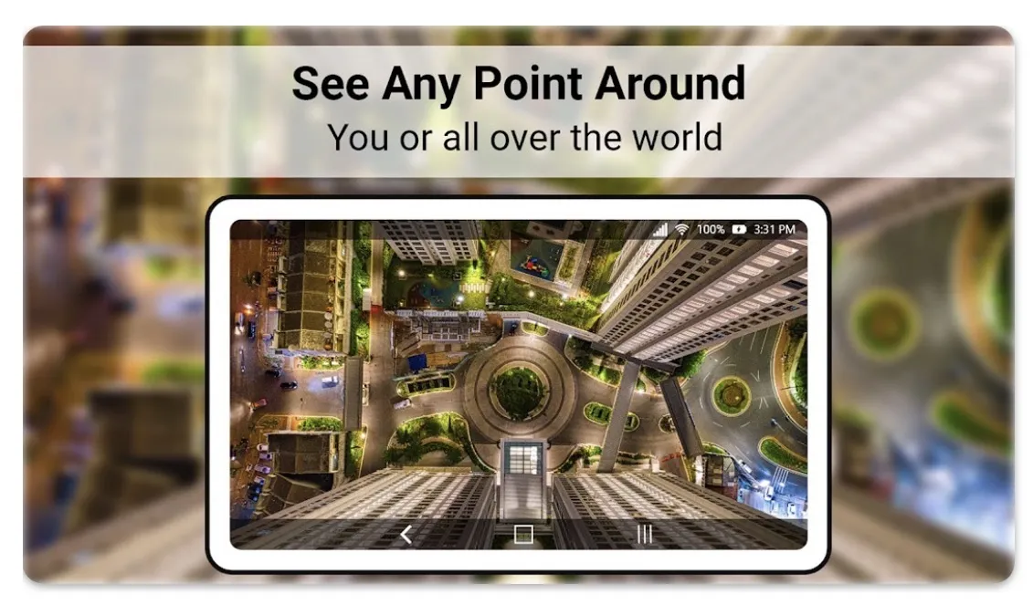
The app provides high-resolution satellite imagery that allows users to explore destinations from an aerial perspective.
3) Street-Level Exploration
Street-view features help users preview roads and surrounding areas before visiting. This can be useful when researching unfamiliar destinations or planning a journey.
4) GPS Location and Navigation
Built-in GPS tools help identify your current position and provide map-based navigation for finding destinations.
5) Virtual World Exploration
Users can discover famous landmarks, cities, tourist attractions, and interesting destinations directly from their phones, making the app useful for both travel planning and casual exploration.
Pros
- Interactive 3D world exploration
- Satellite map imagery
- Street-level location previews
- GPS and navigation tools
- Useful for trip planning
- Easy way to explore global destinations virtually
Cons
- Some features require an internet connection
- Satellite imagery should not be confused with continuous real-time satellite video
- Map accuracy and imagery freshness can vary by location
- The free version may include advertisements
Final Verdict
Live World Map 3D is an interesting option for Android users who enjoy exploring locations visually while also having access to GPS and navigation tools. Its combination of satellite imagery, 3D maps, street views, and location discovery makes it useful for virtual exploration and preparing for trips.
It should not be mistaken for a source of continuous real-time satellite footage, but as a map exploration tool, it offers an enjoyable way to discover the world directly from your smartphone.