Explore the World in 3D: Satellite View, Street View & GPS Navigation
Explore cities, famous landmarks, and different locations around the world using 3D maps, satellite imagery, street views, GPS navigation, and 360° panoramas. Discover useful tools for exploring places from your Android phone.
Explore the World in 3D: Satellite View, Street View & GPS Navigation
Have you ever wanted to explore famous places, discover new cities, or view different locations around the world without leaving your home? With modern map applications, you can explore the world directly from your smartphone.
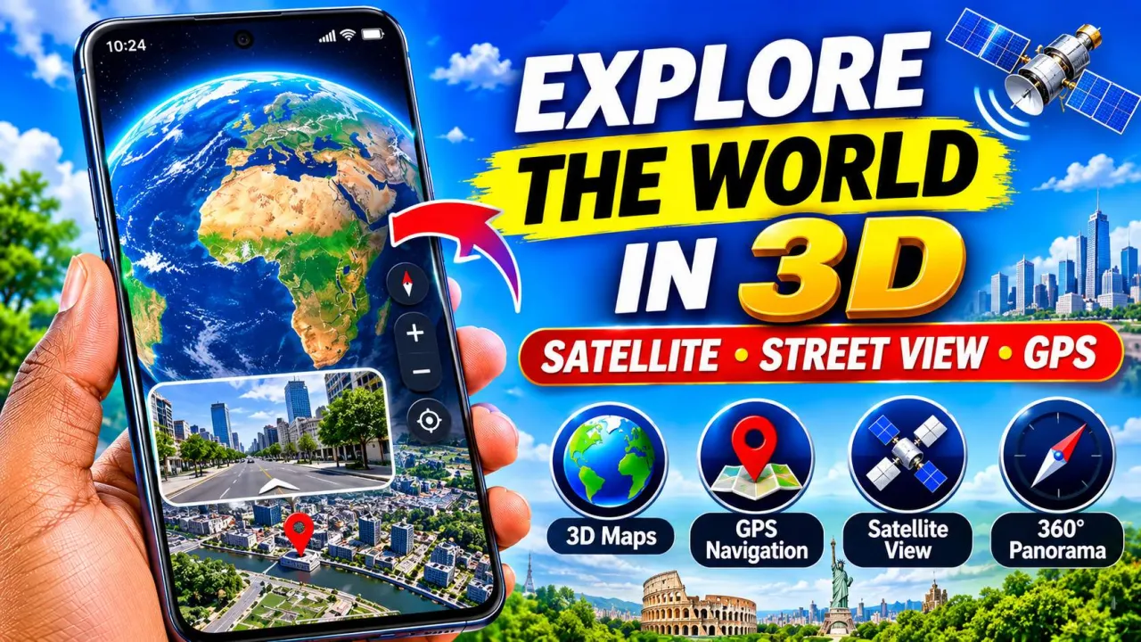
Live Earth Map – World Map 3D is an Android application developed by TarrySoft. It offers features such as satellite imagery, 3D map exploration, street views, GPS navigation, location searching, and 360-degree panoramas.
Whether you enjoy exploring new destinations, planning trips, or discovering famous landmarks, this application offers several interesting tools to try.
1. Explore the World with 3D Maps
One of the interesting features is 3D map exploration. You can explore different geographical locations and view cities, landscapes, and famous places from different perspectives.
The 3D experience makes exploring locations more engaging than looking at a simple map.
It can also help you become familiar with different geographical areas before visiting them.
2. Discover Locations with Satellite View
The satellite view feature allows you to explore locations using aerial imagery.
You can search for different places and examine their surrounding environments from above. This can be useful when exploring cities, roads, buildings, mountains, and other geographical features.
Satellite imagery is not necessarily updated in real time, so the images you see may not represent current conditions.
3. Explore Streets with Street View
Want to see what a particular place looks like before visiting?
The app provides street-view exploration for supported locations. This feature can help you explore roads, landmarks, and surrounding environments through available street-level imagery.
It is particularly useful for people who enjoy virtual exploration or want to become familiar with a destination before traveling.
Street-view availability varies depending on the location.
4. Find Places Using GPS and Search
Finding a location becomes easier with map search and GPS-related tools.
You can search for cities, streets, and famous landmarks using their names. The application also provides location-related features that help users explore their surroundings.
Depending on available permissions and device settings, GPS features can help identify your current location.
5. Explore 360-Degree Panoramas
Another interesting feature is 360-degree panoramic viewing.
Panoramas allow you to explore supported locations from different viewing angles. Instead of seeing only one direction, you can look around the surrounding environment.
This can make virtual exploration more interactive, especially when discovering popular tourist destinations and famous landmarks.
6. Find Useful Places While Traveling
When traveling, finding nearby services can be important.
The application describes tools for discovering places such as restaurants, airports, fuel stations, and ATMs.
These features can help users explore destinations and identify useful places when planning a journey.
Always verify important information and navigation routes before traveling.
7. Explore Famous Places Around the World
You do not need to travel internationally to start discovering interesting destinations.
You can use map exploration tools to search for famous landmarks, cities, rivers, mountains, and other locations around the world.
This can be an interesting experience for students, travelers, geography enthusiasts, and anyone curious about different parts of the planet.
How to Use Live Earth Map on Android
Getting started is simple:
- Open the Google Play Store.
- Search for Live Earth Map – World Map 3D by TarrySoft.
- Install and open the application.
- Explore the available map and satellite-view options.
- Search for a city, street, or landmark.
- Try the available street-view and panoramic features.
- Explore GPS and navigation options if needed.
Some features may require an internet connection, location permissions, or an in-app purchase.
Important Things to Know
Although the application advertises live map and satellite features, satellite imagery and street-view images are not necessarily real-time video. Image freshness and availability depend on the underlying map data and supported locations.
The app contains advertisements and offers in-app purchases. Check subscription details and pricing before purchasing any premium features.
Conclusion
Live Earth Map – World Map 3D offers several interesting ways to explore the world using your Android phone. Its 3D maps, satellite imagery, street views, GPS tools, and panoramic experiences make it an option worth exploring for people interested in maps and travel.
If you enjoy discovering new places and exploring famous destinations virtually, give its features a try.